Difficult
6 h
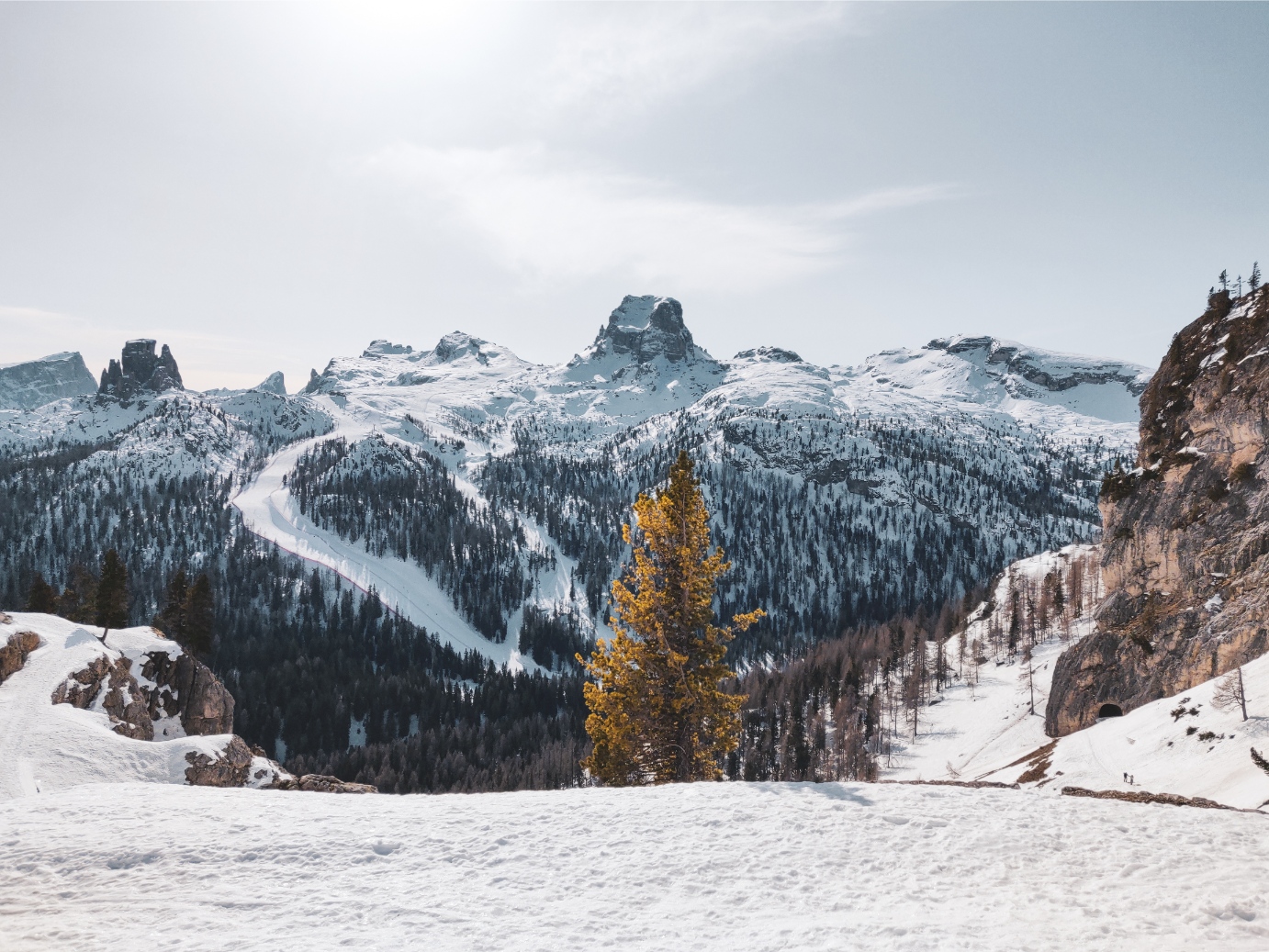
From the car park near the “Cason de Rozes” on the Passo Falzarego, following the route of an old military road dating back to the Great War, you’ll walk for a short distance into a clearing.
Then the route enters the forest and the gradient increases slightly in order to gain height up to the rocky slopes of the Tofana di Rozes. From here, continue until you reach a crossroads where you’ll turn right along trail sign 402. Continue along the cart track to Forcella Col dei Bos between the mountain of the same name and the majestic Tofana di Rozes.
Like all the mountains in this area, the Col dei Bos was the scene of bloody fighting between Italians and Austro-Hungarians between 1915 and 1918. By circumventing the northern wall of the Col dei Bos, it will be possible to attack the shoulder and reach the summit after about half an hour’s walk. For the return journey, follow the same route as the outward journey.
The route may be challenging due to its length, drop and variable snow cover conditions.
It is highly advisable to rely on the Mountain Guides and consult the snow and weather service before any hike.
The indicated time is for a round trip. Difficult hike, not so much for the altitude difference as for its length.


Head Office: Loc. Sacus 4, 32043 Cortina d’Ampezzo (BL) – P.I. 00806650255 | Privacy Policy – Cookie Policy
A partire da giovedì 4 dicembre, ogni famiglia residente a Cortina potrà ritirare gratuitamente la bandiera con il nuovo emblema presso lo IAT di Piazza Roma.
Vivi la storia — sogna Milano‑Cortina.