Intermediate
8 h 30'
Capanna Alpina
Capanna Alpina
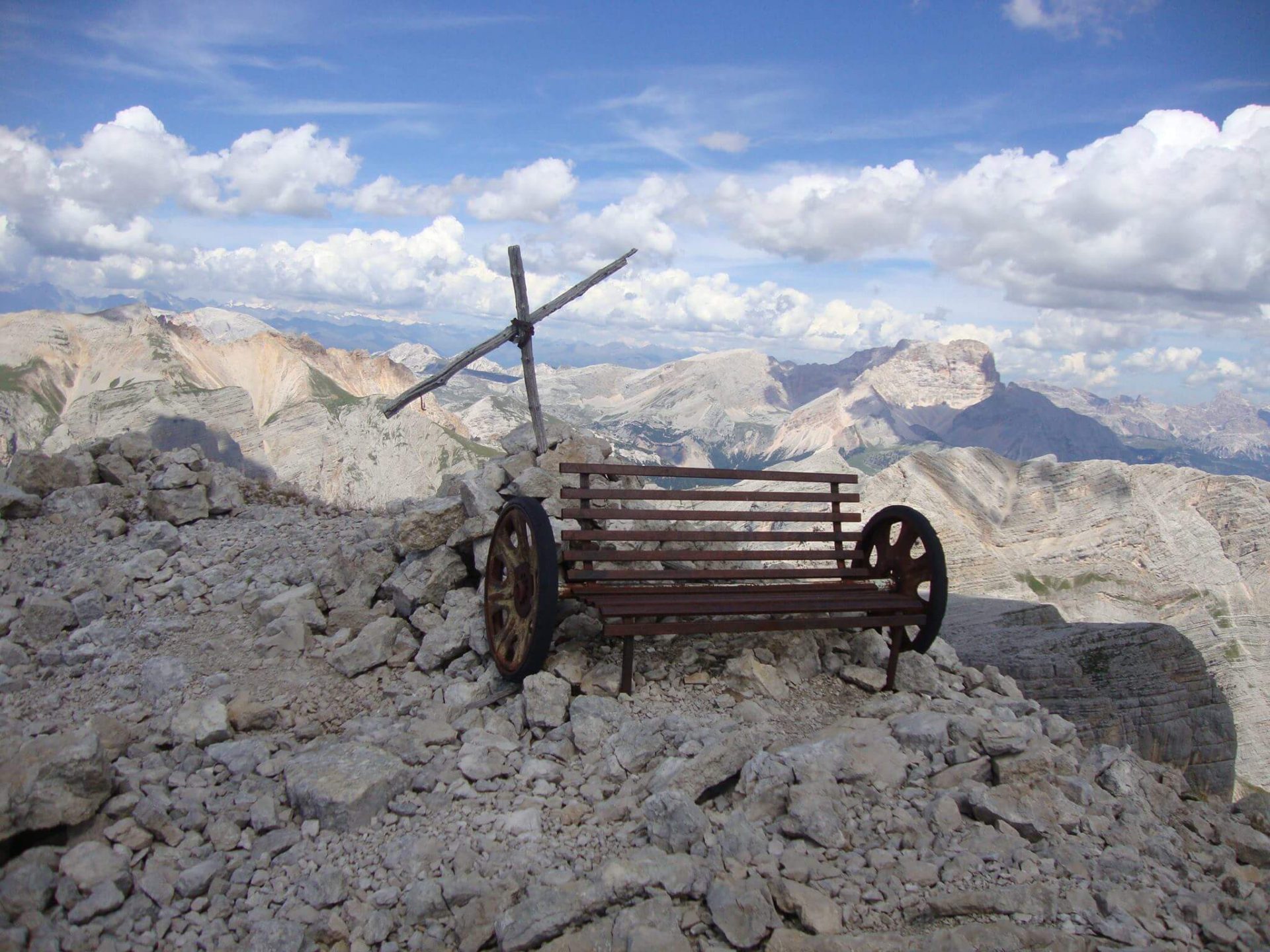
The Ferrata Furcia Rossa is long and challenging, perfect for lovers of wide spaces. It is straight-forward but without support points. The route, not without charm and at times wild and difficult, follows the paths and positions used by the Austrian troops in the First World War. Starting from the Capanna Alpina in Armentarola, take path 11 along the crossing of Plan de Furcia and then up to Col de Lòcia at 2069 m. Continue to Passo Tadega (2,157 m) and then descend towards the Alpe Fanes Grande lake, about 2 hours from the start. Five minutes before Malga Gran Fanes take path 17 on the right until the deviation for Monte Castello where you’ll need to bear left on the path marked towards Vallon Bianco. Further up you’ll cross a large depression: proceed to the left and climb between the rocks along a series of bends. After passing some remains of the First World War, you’ll reach a crossroads – keep to the right following the path downhill that leads to a ledge, passes in front of a cave under a rock roof and arrives at the Sella. There you’ll find the first ladder and the start of the Via ferrata Furcia Rossa, whose ladders and cables were recently renovated. Following the via ferrata in about 1 hour and 30 minutes you’ll be at the top of Furcia Rossa III, one of the peaks of the Furcia Rossa chain that faces the ancient Italian war positions of Tofane, divided by the furrow of Val Travenanzes. Go down a short distance to the branching of the path (ruins of walls and signs) crossed uphill. Keep left and, descending steeply, you’ll reach a fork, then a narrow ledge below the summit of Cima Furcia Rossa IV. Near a vertical wall, begin the descent along the series of steps to the end of the via ferrata. Follow the path for about 150 m and then the scree to the right. At the end of the scree, follow an unmarked path until you reach path 17, returning along the road you took on the way up.
Capanna Alpina, Malga Gran Fanes, Bivacco della Pace
Once you reach the scree going down, continuing straight, you’ll reach the evocative Bivacco della Pace (one more hour), where you can take a break.


Head Office: Loc. Sacus 4, 32043 Cortina d’Ampezzo (BL) – P.I. 00806650255 | Privacy Policy – Cookie Policy