Difficult
6h 30'
Cortina d'Ampezzo
Cortina d'Ampezzo
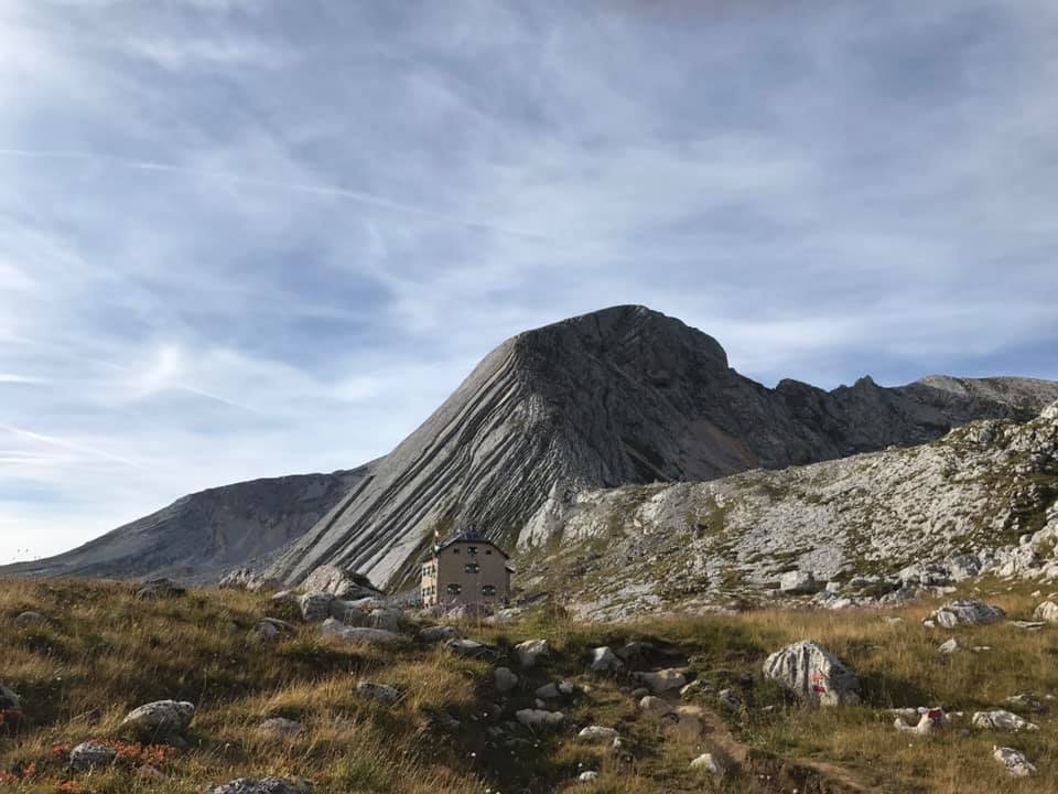
Take the cycle path northbound and follow route 4 to Sant'Uberto. Ascent on an asphalt road to Malga Ra Stua. On a dirt road along the Val Salata. Near the top, turn right in the direction of the Rifugio Biella located on the slopes of the Croda del Becco. Return to the same road and you’ll reach the Rifugio Sennes. Then continue to the Rifugio Fodara Vedla. Fun descent to Campo di Croce and return to Malga Ra Stua and Cortina.
Malga Ra Stua, Rifugio Biella, Rifugio Senes, Rifugio Fodara Vedla


Head Office: Loc. Sacus 4, 32043 Cortina d’Ampezzo (BL) – P.I. 00806650255 | Privacy Policy – Cookie Policy
Da sabato 28 giugno 2025 , l’impianto che collega Tofane, 5 Torri e Falzarego è operativo per tutta la stagione estiva.
Un’avventura panoramica che ridefinisce il concetto di esplorazione, un accesso rapido ed ecologico ai principali skitour di Cortina, come il Giro della Grande Guerra e il Lagazuoi, grazie alla collaborazione tra Ista S.p.a. e Servizi Ampezzo s.r.l.