Difficult
4h 20'
Cortina – Station (1,225 m)
Cortina - Station (1,225 m)
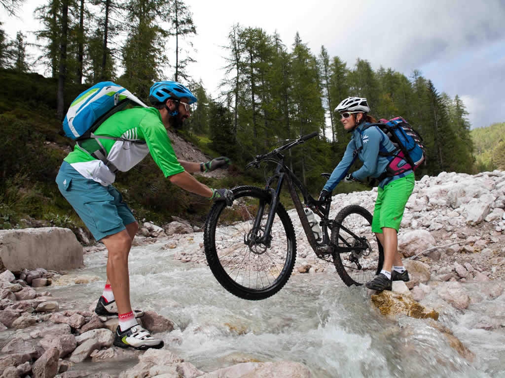
Departure from Cortina station: follow the former railway towards Dobbiaco, passing Fiames (4 km) and Ospitale (9 km). After about 11.5 km we’ll pass Lago de Rufiedo and Lago Negro (altitude 1,505 m). A bit more on the cycle path until you skirt the SS51 at the height of the former military barracks, clearly visible on the left. After km 12.4, where we can see the entrance to the military buildings, cross the state road heading towards the electricity tower in front of it. Follow the signs for Ra Stua here (trail sign 8), taking the dirt road closed by a barrier. This is the beginning of the ascent leading to Lerosa, going up the Val di Gotres. The climb is immersed in a Scots pine forest, and runs easily for the first 500 m. With gradually steeper slopes, you’ll pass a series of three bridges over the streams that originate just above from the sources of the Ru Fiedo. From the third bridge, which you’ll see at km 13.4 (altitude 1,595 m), the slopes become significant, remaining constant at 14%, however they’re on a compact surface and suitable for cycling. The road cuts halfway through the woods, entering the Val di Gotres. After passing a cattle gate ("Porteleto") after 14.8 km (1,795 m), skirt the Ru di Gotres for a stretch, finding some climbs that are difficult to ride on. The road therefore continues less steep: at an altitude of 1,980 m (16.7km) the high-altitude pastures open up, with vegetation becoming sparser. In a short time you’ll be at Forcella Lerosa, at 2,020 m, after 17.5 km. From the fork, the descent that takes you to Cason di Lerosa begins (indication on the Monte di Lerosa table, altitude 1,995 m, km 18). Here ignore the road that continues straight ahead (signposted as "Scorciatoia to Ra Stua"), instead take the military road behind the mountain hut, trail sign 8. The descent to Ra Stua is very technical: in the first 500 m you’ll remain at high altitude, with insignificant slopes but with a treacherous mixed grass/stone surface (you’ll remain on the slopes of the West wall of Croda dell'Ancona) Gradually the surface improves but the slope increases, with the road beginning to descend with narrow hairpin bends (from km 19.2, 1,930 m), remaining exposed in some places. The altitude will descend rapidly, reaching after 20.2 km (1,770 m) a fence gate for cattle. More technical descent until you reach path 6, after 20.9 km: here turn left and you’ll immediately reach the Malga di Ra Stua (1,690 m). The road then continues on an asphalt surface, up to the parking lot in Sant'Uberto (altitude 1,421 m, 24.3 km): here you’ll descend to the right in the direction of Fiames, joining the asphalted section of trail 10 coming from Pian de Loa in Lastiè (1,350 m, 24.9 km). Once you reach the entrance to the Park (at the Visitor Centre), continue bearing right along the dirt road that runs along the Boite river: on a substantially flat ground, you’ll arrive at the Hotel Fiames (1,295 m, km 27.7). Here it is advisable to walk a 900 m stretch on the state road, before going back up to the railway along path 211. You’ll return to Cortina along the cycle path.
Chalet Cimabanche, Malga Ra Stua


Head Office: Loc. Sacus 4, 32043 Cortina d’Ampezzo (BL) – P.I. 00806650255 | Privacy Policy – Cookie Policy
A partire da giovedì 4 dicembre, ogni famiglia residente a Cortina potrà ritirare gratuitamente la bandiera con il nuovo emblema presso lo IAT di Piazza Roma.
Vivi la storia — sogna Milano‑Cortina.