For Experts
7 h 30'
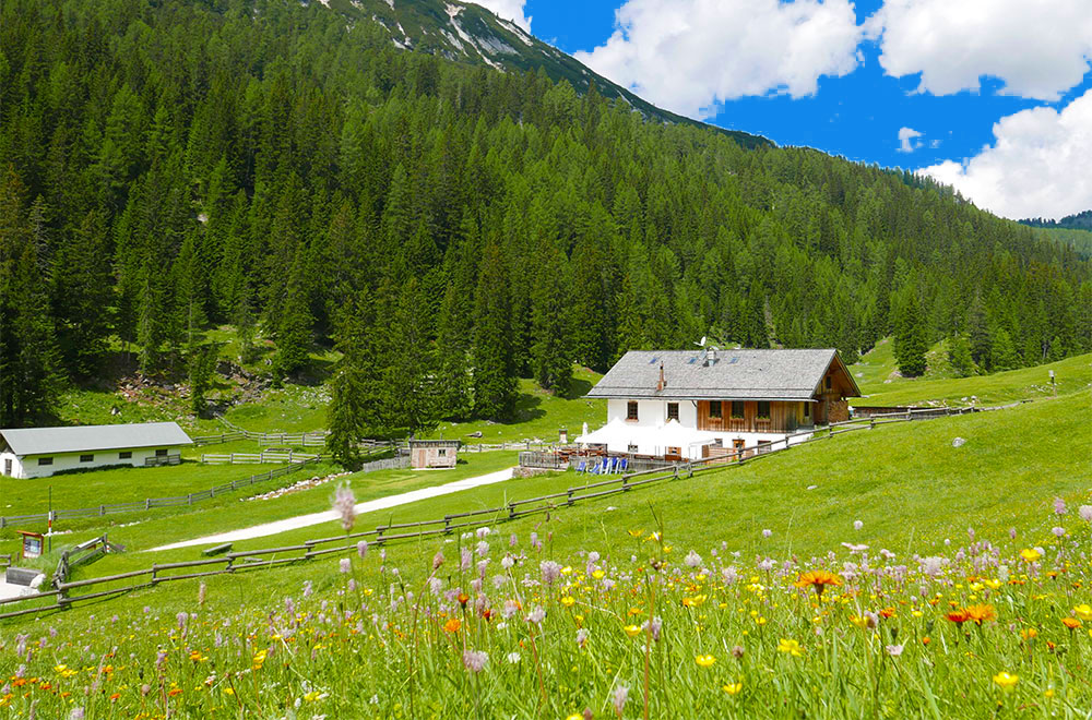
Malga Ra Stua
Rifugio Col Gallina
On the fifth day from Malga Ra Stua, take path 6 until you reach the St Hubert's car park Then follow path 10 and then path 401 through the wild Val Travenanzes. When you reach the Col dei Bos pass, descend along path 402 in the direction of the Passo Falzarego to reach the Rifugio Col Gallina, where you can stay overnight. Indicative travel times: From Malga Ra Stua (1,668 m) to Forcella Col dei Bos (2,331 m): 7 hours approx. Forcella Col dei Bos (2,331 m) to Rifugio Col Gallina (2,054 m): 1 hour approx. MOUNTAIN HUT CONTACTS Malga Ra Stua Tel. +39 0436 5753. Rifugio Lagazuoi Tel. +39 0436 867303. Rifugio Col Gallina Tel. +39 0436 2939. Share on:
Malga Ra Stua, Rifugio Giussani, Rifugio Dibona, Rifugio Pomedes, Rifugio Duca d’Aosta
After crossing the Val Travenanzes, at the crossroads, continue along path 403 to the Rifugio Giussani, where you can spend the night. For more experienced hikers, you can continue along path 403, descending to the Rifugio Dibona, where you can spend the night or continue on to the Rifugio Pomedes, along path 421. Another option, once you have reached the Rifugio Pomedes, is to descend along path 421 to Rifugio Duca d'Aosta, another traditional building where you can spend the night. (Continue with option B of stage 6).


Head Office: Loc. Sacus 4, 32043 Cortina d’Ampezzo (BL) – P.I. 00806650255 | Privacy Policy – Cookie Policy
A partire da giovedì 4 dicembre, ogni famiglia residente a Cortina potrà ritirare gratuitamente la bandiera con il nuovo emblema presso lo IAT di Piazza Roma.
Vivi la storia — sogna Milano‑Cortina.